
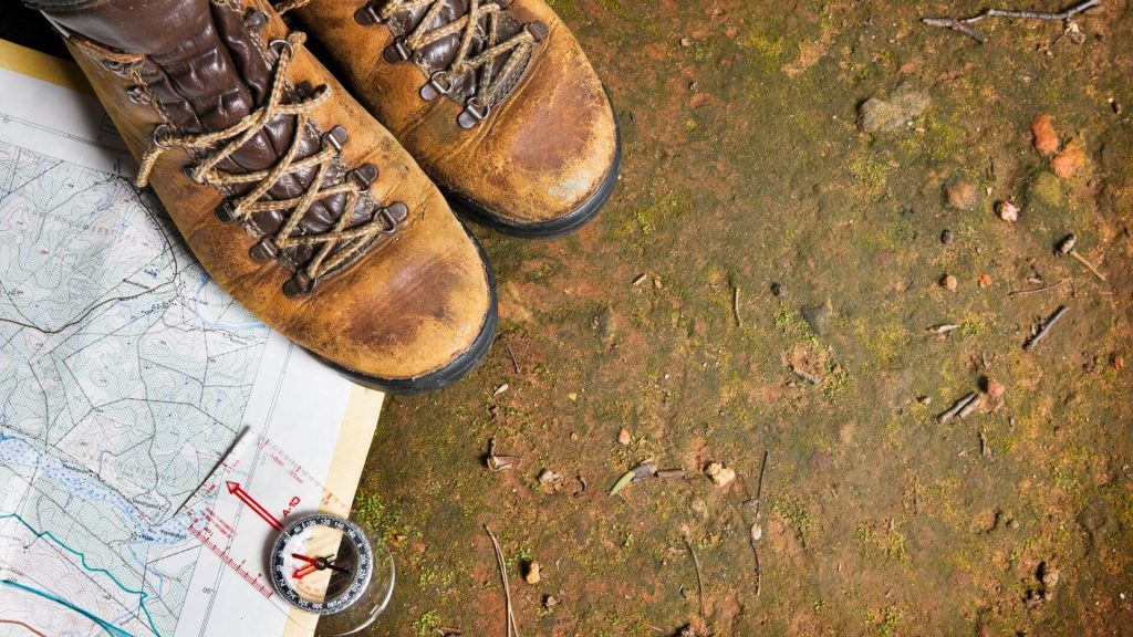
Interactive tech maps can help kids learn geography in exciting and engaging ways. With interactive maps, they can easily explore the world, understand different cultures and climates, discover physical landmarks, and even research their own countries.
By leveraging technology to teach geography, kids gain an understanding of our diverse planet that no textbook or lecture could ever provide. Let’s take a closer look at how interactive tech maps can help kids learn geography and its many benefits.
Benefits of Interactive Tech Maps

Interactive tech maps are one of the best tools when learning geography. They can provide an engaging and immersive experience for kids that helps them learn about different countries, regions, and cities in a fun way.
Kids can explore each geographical destination on the map and interact with it while learning. For instance, there are maps with layers of the ocean for kids to explore or cities that allow kids to see the different buildings and monuments. Also, these maps can provide kids with an immersive 3D experience that allows them to view the world from different angles and perspectives.
Increased Engagement
Interactive tech maps are designed to be engaging for kids, which helps them stay focused on learning. Kids can easily zoom in and out of areas on the map or explore different layers. Additionally, they can be used for educational games such as quizzes or virtual tours. This helps to make learning geography fun and engaging for kids of all ages.
Improved Retention
These maps provide an immersive experience that engages the learner’s senses, making it easier for them to retain information. By visualizing geographical concepts, kids can understand better and remember information such as topography or political boundaries. In addition, interactive tech maps can provide a context for learning by showing different landforms and water bodies, which helps solidify the concepts being taught.
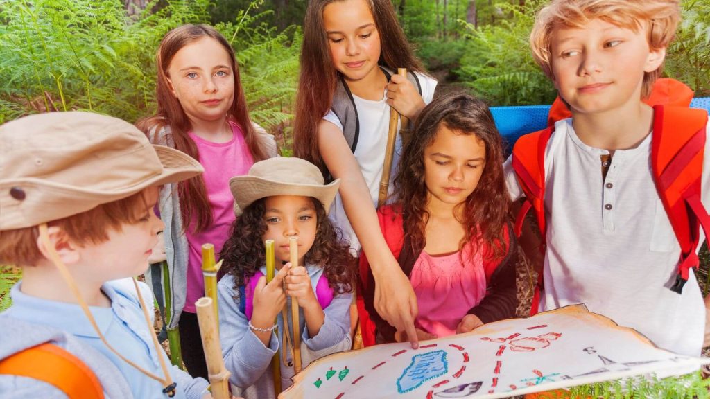
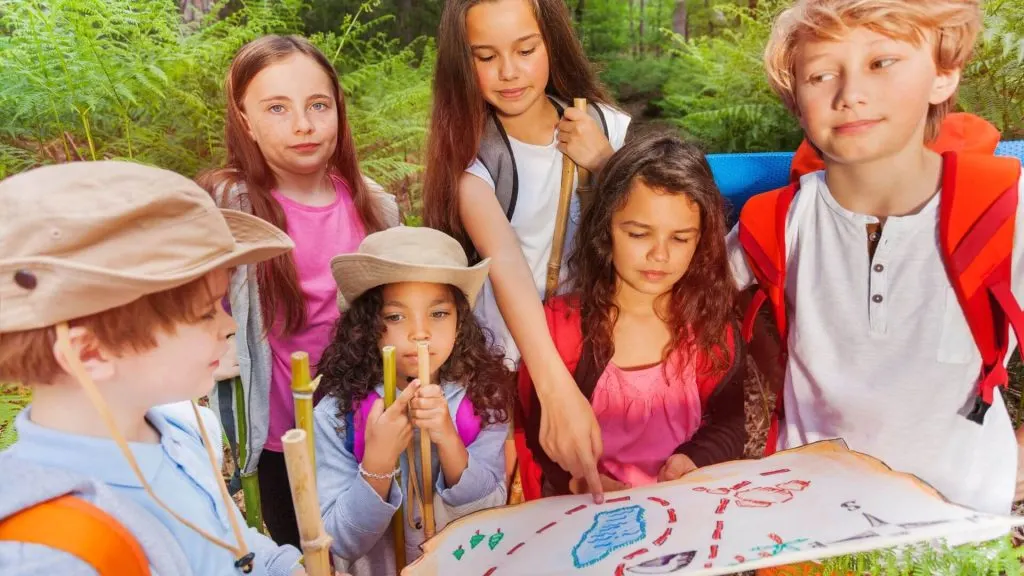
Overview of Games and Activities Using Interactive Tech Maps
If used properly, they can be great tools to help students learn geography. They open up a world of opportunities for games and activities that can make learning fun.
One example is the “GeoHunt” game, which involves using an interactive map to search for different locations. Players are given a list of places to find and are asked to locate them on the map. This game reinforces the concept of spatial awareness, as players must understand what various places look like to identify them accurately.
Another way interactive tech maps can be used is as part of an exploration game. Here, students are given a virtual world to explore and identify different landforms, landmarks, and geographical features. The goal is for students to learn more about the geography of the area they are exploring while having fun.
Finally, they can be combined with other educational activities, such as trivia questions or quizzes related to geography. For example, students might be asked to identify a particular country’s capital or a mountain range’s location. This activity can help students learn geography in an engaging and fun way.
Best Practices for Teaching Kids with Interactive Tech Maps
Since interactive tech maps can effectively teach kids geography, it is important to consider best practices when using them.
First and foremost, keep it fun! To capture children’s attention, interactive tech maps should include engaging visuals, games, and activities that make learning enjoyable. For example, some interactive tech maps allow students to “travel” to different locations worldwide, allowing them to explore landmarks and monuments. Others may be able to play virtual scavenger hunts using a map or quiz games that test their knowledge of geography.
Second, provide plenty of support and guidance. Interactive tech maps should not be used as a replacement for teaching but as a supplement to reinforce what children have learned in class. Teachers should be available to assist students in navigating the tech map and answer any questions.
Lastly, encourage exploration. They can offer unique opportunities for kids to explore the world around them and learn more about different cultures and countries. For example, students may be able to take digital tours of different countries or even learn about how the geography of a particular area has changed over time.
In the end, interactive technology maps are an excellent tool for helping kids learn geography. They help engage and motivate kids to learn more about the physical world and provide them with an interactive way to explore the world around them.
Children can gain a greater understanding of their place in the world by learning how to find cities and countries on a map. Additionally, interactive maps can help kids learn critical geographic facts such as political boundaries, climate patterns, and bodies of water. Thanks for reading!


Jessi is the creative mind behind The Coffee Mom, a popular blog that combines parenting advice, travel tips, and a love for all things Disney. As a trusted Disney influencer and passionate storyteller, Jessi’s authentic insights and relatable content resonate with readers worldwide.